

Remnants of Hurricane Isaias to bring rain, flash flood threat to Philadelphia on Sunday
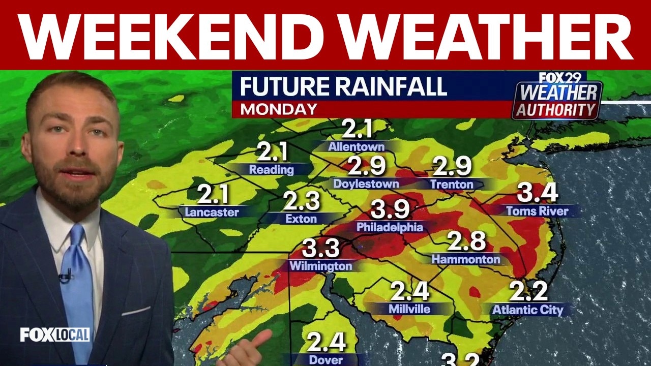
Hurricane remnants bring heavy rain and tornado threat to Philadelphia this weekend
Meteorologist Drew Anderson tracks the severe weather moving into the Philadelphia region. Prepare for a total washout on Sunday as hurricane leftovers bring 2 to 4 inches of heavy rain, wind gusts up to 40 mph, and the potential for localized flooding and isolated tornadoes. The severe weather will clear out just after the Monday morning commute.
PHILADELPHIA - The City of Philadelphia is preparing for potential impacts as the remnants of Hurricane Isaias track toward the region this weekend after moving through the Gulf Coast.
What we know:
The storm system is currently forecast to bring one to two inches of rainfall into the Philadelphia area on Sunday.
As the remnants of the hurricane reach Philadelphia and surrounding counties, officials expect wind speeds and overall rainfall totals to diminish. However, the National Weather Service (NWS) in Mount Holly has placed Philadelphia at a marginal risk (1 out of 4) for flash flooding.
The primary flooding threat will impact low-lying and flood-prone areas that experience rapid water runoff during severe storms, as well as areas susceptible to road ponding.
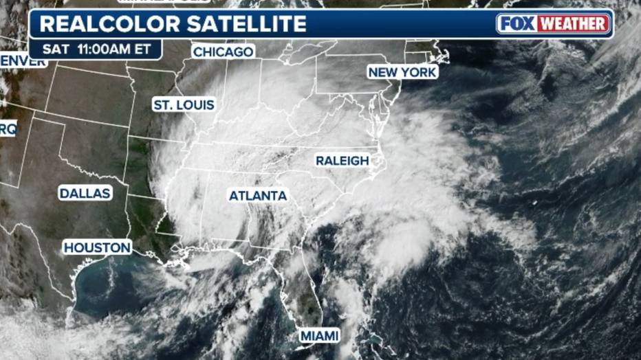
GOES-East satellite image showing an expansive cloud shield across the East from Isaias (FOX Weather)
What you can do:
The Office of Emergency Management (OEM) is continuously monitoring the system and urges residents to stay weather aware, as storm forecasts can change as they develop.
If the NWS issues any storm-related advisories, watches, or warnings, the OEM will notify residents through the ReadyPhiladelphia Alert & Warning program. Residents are encouraged to sign up for free alerts by texting READYPHILA to 888777 or by visiting www.phila.gov/ready to customize text and email notifications, including specific alerts for flood levels on the Delaware and Schuylkill Rivers.
The Source: This article was written using information provided by the City of Philadelphia and the Office of Emergency Management.