

Weather Authority: 4th heat wave expected after temps in the 90s will crawl into triple digits
PHILADELPHIA - Tuesday's temperatures were in the low 90s, but forecasters say it's only going to get hotter as a fourth heat wave is in store for us, lasting several days.
A cold front will move in Tuesday night, lowering the humidity levels overnight with temperatures in the 60s and 70s.
Hazy sunshine will be overhead for Wednesday will the average high at 87.
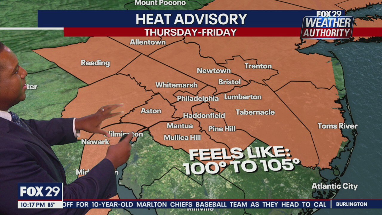
The humidity will start to creep back up for Thursday and Friday as a heat advisory will be in effect after temperatures could feel like they are in the triple digits.
Forecasters say scattered showers and storms pose a threat on Friday and even into Saturday.
Sunday will be hot and humid as things begin to dry out.
SEVEN-DAY FORECAST
WEDNESDAY: Less humid. High: 93, Low: 73
THURSDAY: Record Heat. High: 99, Low: 75
FRIDAY: Hot p.m. storms. High: 96, Low: 78
SATURDAY: Still a chance. High: 89, Low: 76
SUNDAY: Hot, humid. High: 93, Low: 77
MONDAY: Hot, pop-up storms. High: 92, Low: 79
TUESDAY: Scattered storms. High: 90, Low: 77