

Philadelphia weather: Heat wave continues Monday with scattered severe storms possible
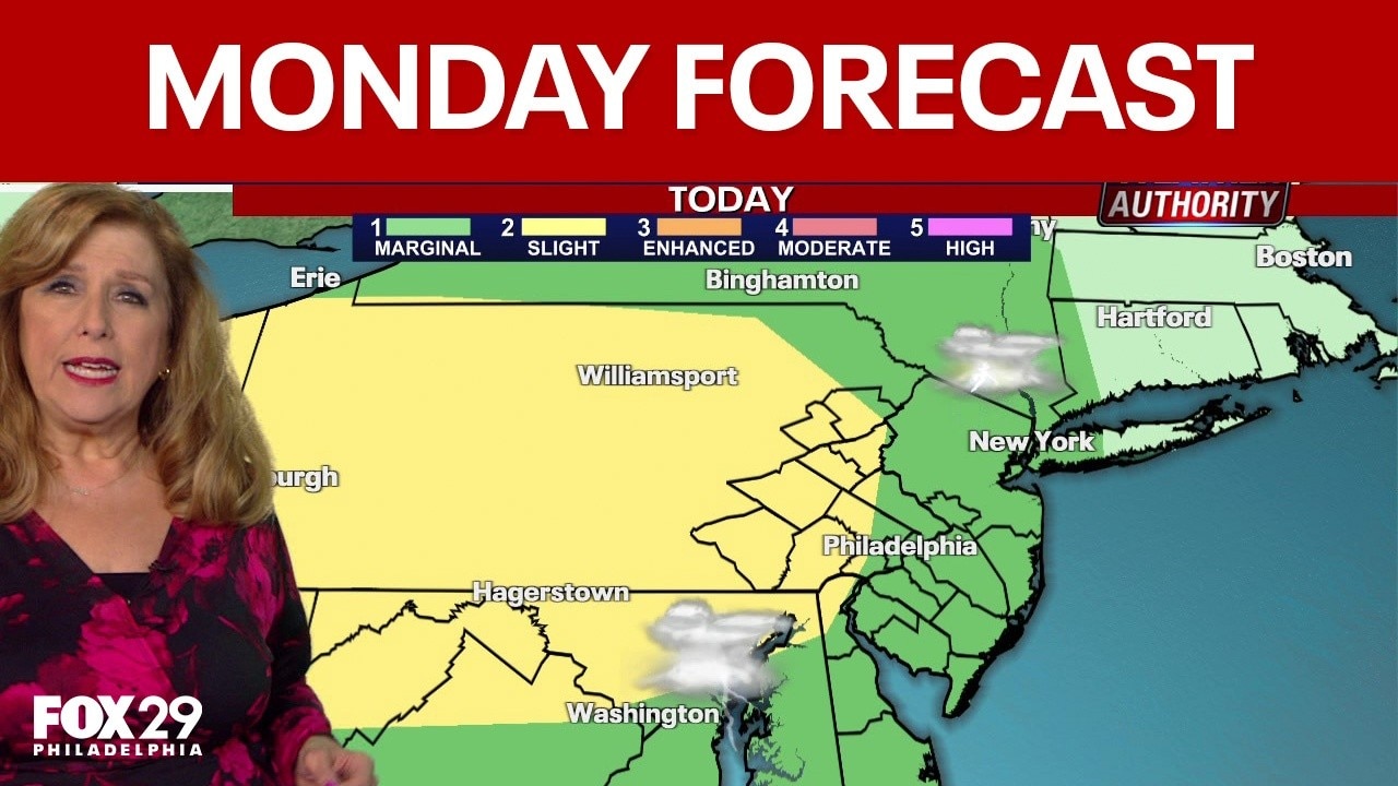
UPDATE: A ground stop has been issued through 6 p.m. for flights bound for Philadelphia International Airport (PHL) from select control centers across the Northeast U.S. and Canada due to ongoing severe thunderstorms.
Additionally, a Severe Thunderstorm Warning is in effect until 5:30 p.m. for Chester, West Chester and Broomall, Pennsylvania.
PHILADELPHIA - An ongoing heat wave will continue on Monday with the risk of late-day scattered storms that could turn severe.
What we know:
Heat and humidity will continue to build across the Philadelphia area on Monday, with temperatures expected to return to the 90s.
Forecasters say the increased humidity will make temperatures feel even hotter and more oppressive during the daytime hours.
Scattered storms will move across the Philadelphia area on Monday afternoon and evening, impacting the city around 4 p.m.
The National Weather Service has issued a severe thunderstorm watch for the entire Philadelphia area until 9 p.m.
The advisory calls for damaging wind gusts up to 75 MPH, frequent lightning, and possible quarter-sized hail.
What's next:
A similar weather day is ahead on Tuesday as the Philadelphia area reaches the sixth day of the ongoing heat wave.
Temperatures will tick back into the 80s on Wednesday and Thursday, but forecasters say humidity will still linger on both days.
Humidity will drop on Friday, with comfortable summer temperatures in the 80s, ahead of a pleasant weekend.