

Flood watch issued for Philadelphia region ahead of Thursday storms
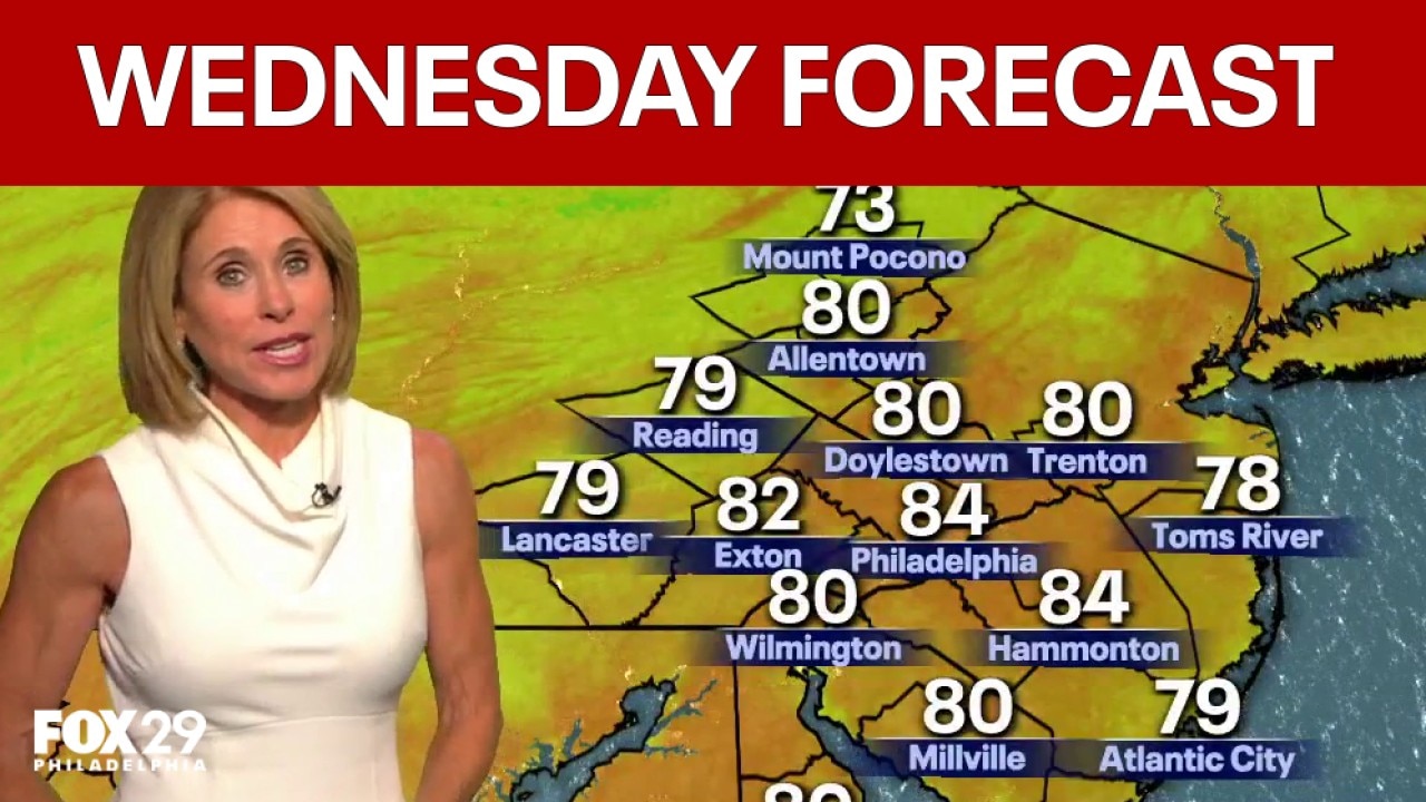
Philadelphia weather: Wednesday evening forecast
FOX 29 meteorologist Kathy Orr looks at current conditions and breaks down the 7-day forecast.
PHILADELPHIA - After several days of gorgeous weather, rain is coming to the Philadelphia region on Thursday, bringing the threat of flooding later in the day, according to forecasters.
Thursday rain
Timeline:
Clouds will start to move in on Thursday morning, according to FOX 29 meteorologist Scott Williams, thanks to a warm front coming in from the west.
That front will make it "look kind of ominous" with heavy clouds, and lead to some "hit or miss" rain Thursday morning, Williams said.
The "main event" will come later in the day, likely around dinnertime. A cold front coming from the north and west is expected to push storms down into the area.
"Right now, if I had to put a time on it, it'd be between 5 p.m. and 11 p.m. Thursday evening," Williams said.
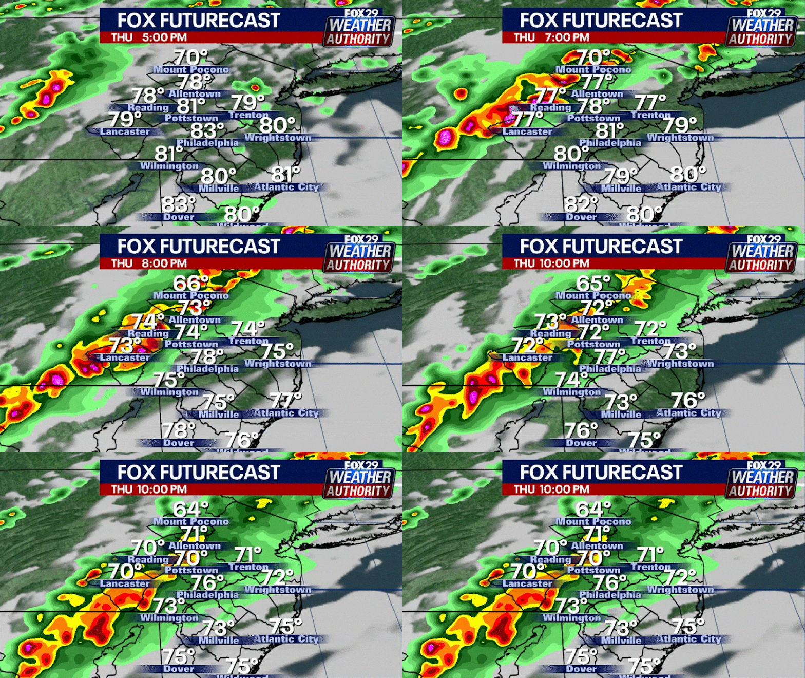
Flood Watch across Philadelphia region
Why you should care:
The FOX 29 Weather Authority puts most of eastern Pennsylvania, western New Jersey and northern Delaware at a slight risk of severe weather on Thursday.
The National Weather Service put most of the area under a flood watch "from Thursday afternoon through late Thursday night."
That includes Philadelphia, Chester, Delaware, Montgomery and upper and lower Bucks counties in Pennsylvania; Camden, Gloucester, Mercer, Burlington, Hunterdon, Middlesex, Morris, Somerset, Sussex and Monmouth counties in New Jersey; and New Castle County, Delaware.
NWS forecasters predict thunderstorms could drop 1 to 2 inches of rain per hour, with as much as 5 inches of rain an hour possible in some places.
"You should monitor later forecasts and be prepared to take action should Flash Flood Warnings be issued," the NWS said.
The Source: Information in this story is from a National Weather Service Philadelphia/Mt. Holly Flood Watch notice issued at 2:31 p.m. on Wednesday, Aug. 26, 2026 the NWS_MtHolly X account, and Scott Williams' FOX 29 Weather Authority forecast from the Aug. 26 episode of FOX 29: Behind the News.