

Philadelphia smoke forecast: When smoke could clear and storms could move in
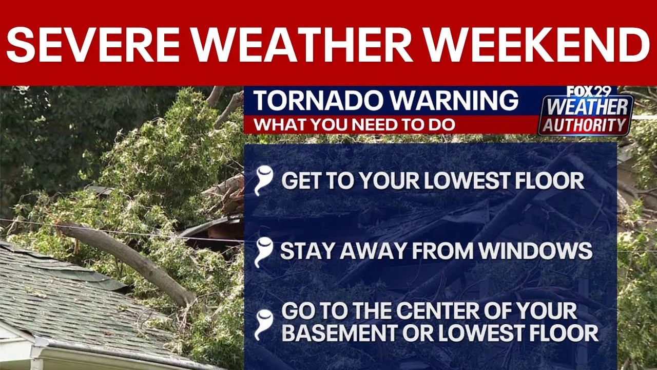
Weekend Forecast: Severe storms, air quality and more
FOX29 Weather Authority's Drew Anderson breaks down everything weather for the upcoming weekend.
PHILADELPHIA - Wildfire smoke is expected to stick around through Friday evening, but thunderstorms on Saturday could help clear the air.
Timeline:
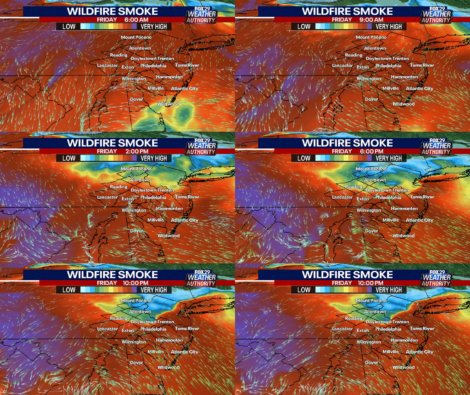
Wildfire smoke will continue through Friday night, but is expected to start dissipating by Saturday morning as thunderstorms move in.
Smoke levels are expected to lessen throughout the day as storms move in, with conditions really clearing overnight into early Sunday morning.
Thunderstorms are forecasted to begin late Saturday morning, with additional rounds of storms possible in the late afternoon and evening.
The main threats from Saturday's storms are heavy downpours, flash flooding and some damaging winds. Areas that could be impacted include the entire region, with the highest risk of severe weather in New Jersey, eastern Pennsylvania, and northern Delaware.
The highest risk of flash flooding is expected to be in northern New Jersey and areas to the north and west of Philadelphia.
LIVE UPDATES: Code Purple air quality alert issued for PA as Canadian wildfire smoke blankets area
Temperatures are expected to reach 90 degrees Friday, drop to 84 Saturday, and 85 Sunday, with no more 90-degree days in the seven-day forecast.
After the weekend, forecasters expect a return to typical July weather with only a few pop-up storms.
What’s next for the weekend
What's next:
The combination of wildfire smoke and severe thunderstorms could impact outdoor plans and air quality.
By Sunday, forecasters hope the smoke will have fully moved out, and conditions should improve for outdoor activities.
Residents are advised to stay alert for changing weather conditions and possible flash flooding on Saturday.
The Source: Information from the National Weather Service and FOX 29 Weather Authority.