

LIVE | Winter storm hits PA, NJ, DE: Track snow updates

Winter storm latest: What's next for Monday?
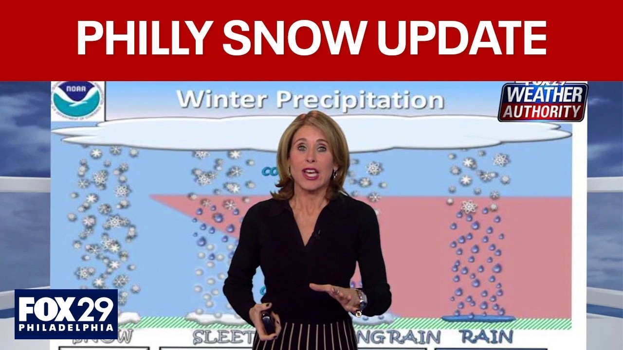
The FOX 29 news team has the latest on the ongoing winter storm, which pummeled the northeast on Sunday.
PHILADELPHIA - A powerful winter storm is continuing to hit the Philadelphia region, bringing heavy snow and dangerous conditions to Pennsylvania, New Jersey and Delaware.
The National Weather Service says snow is likely to mix with sleet and freezing rain closer to the coast and along the I-95 corridor, especially across parts of New Jersey and Delaware, which could limit snowfall totals while increasing the risk of icy roads and power outages. Arctic air remains firmly in place behind the storm, with temperatures staying well below freezing into next week and dangerously low wind chills possible overnight across the region.
JUMP TO: NWS Sunday morning briefing | School closings | Snowfall totals so far | SEPTA suspending some services
Snow and ice are already creating hazardous travel across eastern Pennsylvania, New Jersey and Delaware, with conditions expected to worsen — follow this live blog for the latest updates on snowfall, road conditions, power outages and weather alerts as the storm continues into Monday.
FIND THE LATEST WINTER STORM FORECAST HERE
LIVE STORM UPDATES
10 p.m. - FOX 29 Weather Authority update

What to expect in weather Monday after Sunday's snowstorm
FOX 29 Meteorologist Kathy Orr breaks down the wind chills and clean-up cold weather to expect Monday after the winter snowstorm.
FOX 29 Meteorologist Kathy Orr says Philadelphia received up to 9.1 inches of snowfall Sunday. Meanwhile, the Poconos received 14.5 inches of snow.

In Philadelphia, expect partly sunny and cold weather Monday with a high of 29 degrees and wind gusts up to 30mph.
8 p.m. — Over 120 flights canceled at PHL Airport Monday
As of Sunday night, 125 flights scheduled for Monday have already been canceled at Philadelphia International Airport.
Crews have been treating, plowing and clearing the runways and taxiways from the beginning of the snowstorm.
6 p.m. - FOX 29 Meteorologists track ice and freezing rain
Meteorologists Kathy Orr and Scott Williams said that the region’s biggest snowstorm in five years is winding down, but sleet and freezing rain are creating new hazards for Philadelphia and surrounding areas.

Winter snowstorm update: What's coming next?
From freezing rain to wind chills, FOX 29 Meteorologists Scott Williams and Kathy Orr has the latest on this weekend's snowstorm.
4:30 p.m. -SEPTA Regional Rail to operate on Saturday schedule Monday
SEPTA officials say all Regional Rail lines will operate on a Saturday schedule Monday due to the snowy and icy conditions. SEPTA says the Saturday schedule will be in effect ‘when it is safe to do so,' so other cancellations and delays could occur.
4 p.m. - FOX 29 Weather Authority update
Kathy Orr and Scott Williams have an updated look at timing and expected totals. They also take a closer look at some of the areas that have already seen the most snow.
Winter storm update: What comes next?
FOX 29 meteorologists Kathy Orr and Scott Williams discuss what's still to come with the storm and how to plan ahead.
2 p.m. — Snow totals reach more than 7 inches in Philadelphia
1 p.m. - Sleet beginning to fall in Philadelphia, surrounding area
For some, including Philadelphia and the north and west suburbs, the snow has already begun to change over to some sleet. While temperatures on the ground remain well below freezing, some warmer air in the upper atmosphere is causing sleet to mix in with snowfall. That sleet/wintry mix is expected to continue through the next several hours as rain will impact areas along the coast. The rain line could also creep towards the I-95 corridor.

Winter storm update: Sleet, wintry mix begin to fall in Philadelphia area
Sunday's snowfall has already started to mix with sleet and freezing rain across parts of the Delaware Valley. Areas closer to the coast are facing more rain as temperatures warm in the upper atmosphere.
11 a.m. - National Weather Service releases updates snowfall totals
The National Weather Service release an updated list of snowfall totals as of 10:30 a.m. Sunday morning. So far, East Nottingham Township, Chester County is leading the way with 6.8 inches of snow accumulating so far. Northeast Philadelphia is measuring at 4 inches so far, while several other parts of the have reported 5 or 6 inches.
Check the latest snowfall totals, here.
Featured

How much snow fell on Sunday? Totals for Philadelphia, New Jersey, Delaware so far
Several inches of snow fell on Sunday across the Delaware Valley region, and observations from the National Weather Service are showing totals across Pennsylvania, New Jersey and Delaware.
10 a.m. — Mayor Parker gives winter weather update
Philadelphia Mayor Cherelle Parker urged residents to stay off the roads as crews prepare to clear snow around the city.
9:45 a.m. — SEPTA to suspend all bus routes, Regional Rail
SEPTA officials have announced they are suspending all Regional Rail Service and bus service at 2 p.m. Sunday, according to FOX 29's Bob Kelly. Changes to the trolley line are unknown at this time.
Both the Broad Street Line and Market Frankford Line will continue normal operations for now.
9:30 a.m. - NWS announces initial snowfall totals
The National Weather Service released an initial list of snowfall totals across the area, with some locations reporting as many as 3 or more inches by 7 a.m. Sunday morning. View the latest list by clicking here.
9 a.m. - Area schools announce Monday closures
Several area schools have already announced their plans for Monday with many already having announced they will be closed for the day. Others will be following flexible learning schedules.
8 a.m. - NWS Sunday morning briefing
Widespread snow and sleet totals ranging from 4 to 8 inches to our south are expected Sunday, while the I-95 corridor can expect 7 to 11 inches over the course of Sunday and early Monday morning.
Areas to the north and west of Philadelphia and the I95 corridor could see 12 to 16 inches of snow.
Featured

Philly snow forecast: How much snow, ice to expect and when it will stop
Expect snow to continue throughout the day Sunday, with a chance of a changeover to sleet and freezing rain this evening. The heaviest snowfall, with accumulations of 1+ inch per hour, is expected during daytime hours Sunday.
Forecasters are continuing to monitor an anticipated transition to a wintry mix of sleet and snow that will occur from south to north. That rain/snow line could reach as far inland as the Lehigh Valley and I-78 corridor.
Lower snowfall amounts are expected to the south and closer to the coast where they will see a longer duration of a wintry mix or even just rain Sunday afternoon and evening.
Ice accumulations could range from 0.1-0.25 inches across the I-95 corridor, southern New Jersey, and central and northern Delaware.
Ice accumulations, along with wind gusts of 20-30 mph could result in some down trees, power lines, and even power outages.
7 a.m. — Snowfall picking up
Snowfall will start to fall at about 1 inch per hour over the next few hours.
6 a.m. — More flights canceled
Cancellations at Philadelphia International Airport reach 641 flights.
4 a.m. — Winter storm approaches
Snow begins to move into the Philadelphia area
5 a.m. — Sleet/ snow line move closer
The sleet/snow line is currently near the mouth of the Potomac River and the Virginia/Maryland border on the Eastern Shore.

FILE PHOTO (2019) – Commuters get an early jump on rush hour as winter storm Petra brings several inches of snow to the Philadelphia region, on February 20, 2019. To accommodate, SEPTA implemented its Early Exit Schedule, running nine Regional Rail t
Stay connected with FOX LOCAL. For 24/7 winter storm coverage—Download Now.
Stay ahead of the snow with FOX 29’s expert meteorologists, streaming LIVE on FOX LOCAL. Get the latest on the forecast, snow potential, and preparation tips—before the storm and all weekend long. Download FOX LOCAL for 24/7 weather coverage on your smart TV and mobile devices.