

Flash flood warning issued for Philadelphia area Sunday evening
Philadelphia weather: Sunday morning forecast
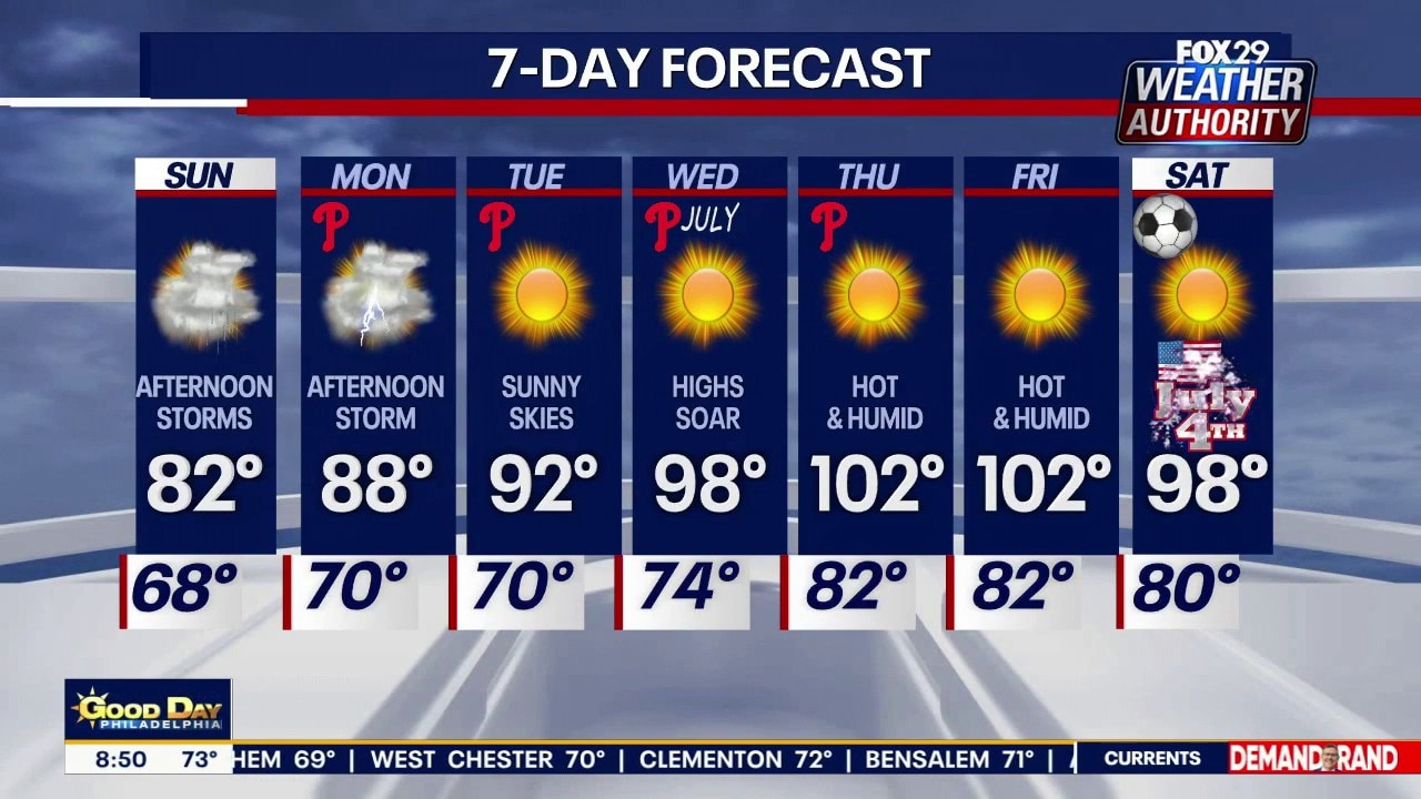
Stormy Sunday with temperatures in the low 80s as extreme heat expected this week.
PHILADELPHIA - The National Weather Service (NWS) in Mount Holly has issued a Flash Flood Warning until 10:45 PM EDT for Philadelphia, Delaware and Montgomery counties in Pennsylvania, alongside Burlington, Camden and Gloucester counties in New Jersey.
Heavy rainfall and immediate risks
By the numbers:
At 7:51 PM EDT, NWS Doppler radar tracked heavy thunderstorms capable of producing torrential rainfall rates of 1.5 to 2 inches per hour.
ReadyPhiladelphia, the City’s Office of Emergency Management, warns that dangerous flash flooding is actively ongoing or imminent.
Expected impacts include the flooding of small creeks, streams, urban areas, highways and low-lying underpasses.
High-risk areas and roadways
Dig deeper:
The NWS identifies Philadelphia, Camden, Norristown, Gloucester City and Willingboro among the locations facing immediate flood risks.
ReadyPhiladelphia issued an urgent directive stating that anyone at the Philadelphia Stadium complex or Lemon Hill must seek shelter immediately.
Major roadways heavily impacted by this warning include:
- I-95 (PA): Mile markers 12 to 33
- I-76 (PA/NJ): Mile markers 330 to 351 (PA) and 2 to 3 (NJ)
- I-476 & PA Turnpike / Northeast Extension
- I-676 (PA/NJ)
Safety advice
What you can do:
Officials from both agencies urge motorists to "Turn around, don't drown," noting that most flood fatalities occur in vehicles.
For real-time updates and emergency preparedness, visit weather.gov/phi and phila.gov/ready or access the ASL information link.
The Source: Information from the National Weather Service and ReadyPhiladelphia.