

Philadelphia weather: Severe thunderstorms, tornadoes possible in region Monday
Weather Authority: Cold start, St. Patrick’s Day sunshine and storm threat ahead in Philadelphia
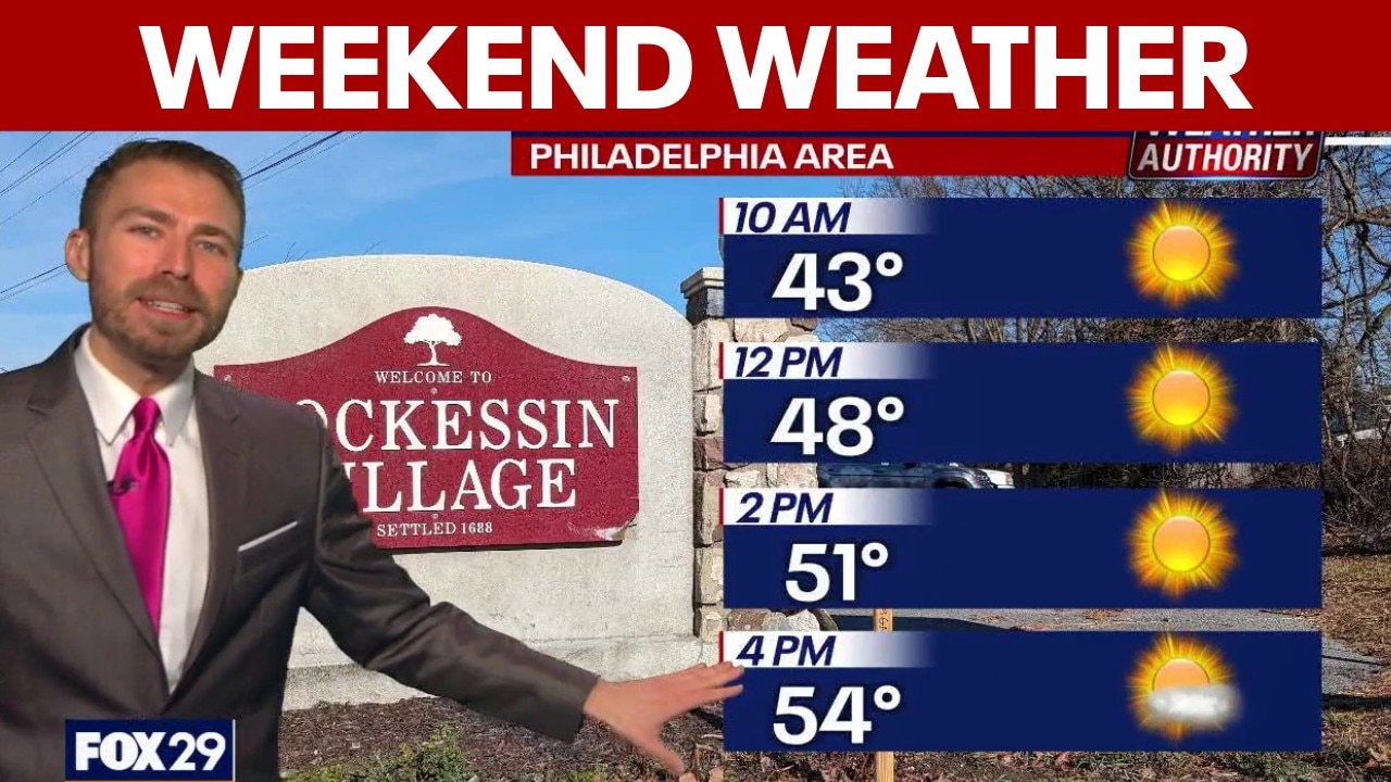
FOX 29 meteorologist Drew Anderson says temperatures will climb into the 50s Sunday, with clouds returning later in the day. He’s also warning viewers about a rough start to the week, with strong storms, heavy rain and the potential for damaging winds on Monday.
PHILADELPHIA - More severe weather is expected in the Philadelphia region early next week, with the threat of severe thunderstorms and even some potential tornado warnings on Monday, March 16.
Thunderstorm, tornado risk Monday
What we know:
On Friday, the National Weather Service's Storm Prediction Center put much of the Mid-Atlantic region at an "enhanced risk" level for severe weather Monday. That warning zone extends from southern Pennsylvania in the north down to South Carolina.
Areas like Allentown and much of western New Jersey are at lesser risk, according to the NWS.

When will it rain in Philadelphia?
Timeline:
Monday is going to be a "nasty weather day" overall, said FOX 29 Meteorologist Drew Anderson.
The rain is expected to start coming into the area early Monday, with storms around lunchtime. The worst storms will come later, after the evening rush hour. That's when, Anderson says, the area's most likely to see some tornado warnings.
Overall, Anderson says you can expect heavy rain, a lot of lightning and strong wind gusts, especially Monday afternoon and evening.
What's next:
After the storms pass on Monday, the winter weather will return. The area will go from highs of 70 on Monday, down to highs of 40 on Tuesday.
"That's why the storms are so strong," Anderson said. "When you have a huge big opposite of temperatures, you get really strong storms."
The temperatures should remain cold through the second half of next week.
The Source: Information in this story is from the FOX 29 Weather Team and the National Weather Service.